
| Roughness Class | |
The roughness class is a dimensionless number based on the value of the surface roughness. The following equation defines the roughness class C:
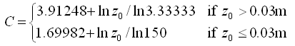
where z0 is the surface roughness in m.
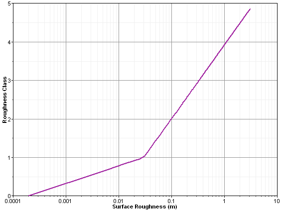
The following graph illustrates this relationship:
The following table lists the terrain types characteristic of various values of roughness class. Source: Wind Energy Reference Manual at www.windpower.org.
| Roughness Class | Surface Roughness (m) | Landscape Type |
|---|---|---|
| 0 | 0.0002 | Water surface |
| 0.5 | 0.0024 | Completely open terrain with a smooth surface, e.g. concrete runways in airports, mowed grass, etc. |
| 1 | 0.03 | Open agricultural area without fences and hedgerows and very scattered buildings. Only softly rounded hills. |
| 1.5 | 0.055 | Agricultural land with some houses and 8 metre tall sheltering hedgerows with a distance of approx. 1250 metres. |
| 2 | 0.1 | Agricultural land with some houses and 8 metre tall sheltering hedgerows with a distance of approx. 500 metres. |
| 2.5 | 0.2 | Agricultural land with many houses, shrubs and plants, or 8 metre tall sheltering hedgerows with a distance of approx. 250 metres. |
| 3 | 0.4 | Villages, small towns, agricultural land with many or tall sheltering hedgerows, forests and very rough and uneven terrain. |
| 3.5 | 0.8 | Larger cities with tall buildings. |
| 4 | 1.6 | Very large cities with tall buildings and skyscrapers. |
Windographer displays the roughness class in the Dataset Summary table.
See also