
HOMER Pro 3.16

The Koeppen-Geiger climate classification system is used to match project model locations with data available from the OpenEI database, which offers load profiles for locations in the U.S. Using the Koeppen-Geiger climate classification system, representative load profile of the same climate class are provided.
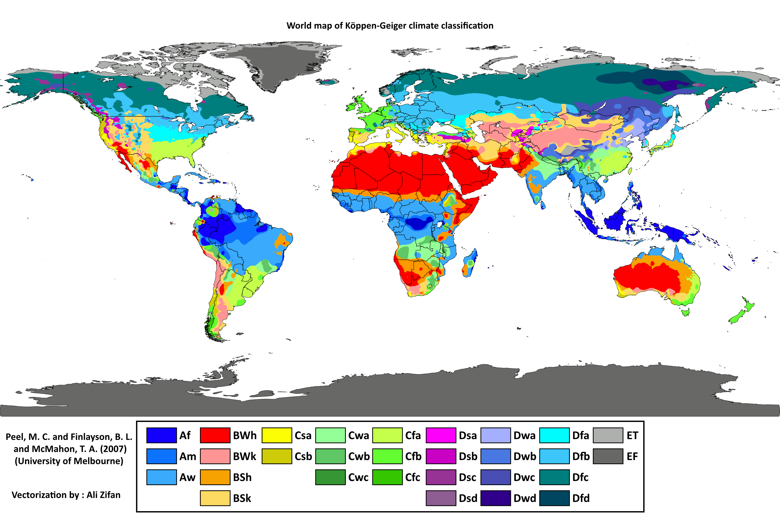
Image Source: By Peel, M. C., Finlayson, B. L., and McMahon, T. A.(University of Melbourne)Enhanced, modified, and vectorized by Ali Zifan. - Hydrology and Earth System Sciences: "Updated world map of the Köppen-Geiger climate classification" (Supplement)map in PDF (Institute for Veterinary Public Health)Legend explanation, CC BY-SA 4.0, https://commons.wikimedia.org/w/index.php?curid=47086879
The colors of the map are reflected in the drop-down menu of climate zones. Because US locations do not cover all of the world’s climate zones, there are some climate zones for which there is no data. Such climate zones are grey in the drop-down menu.
For information about the Koeppen Geiger Climate Zone symbols and criteria, please visit: https://www.hydrol-earth-syst-sci.net/11/1633/2007/hess-11-1633-2007.pdf.
See also
